AAWSAP DIRD, High-Frequency Gravitational Wave Communications, April 2010
DOW-UAP-D140 · page 31 of 57
Text
This text came with the file. It may have mistakes. When the text and the image disagree, the image is right.
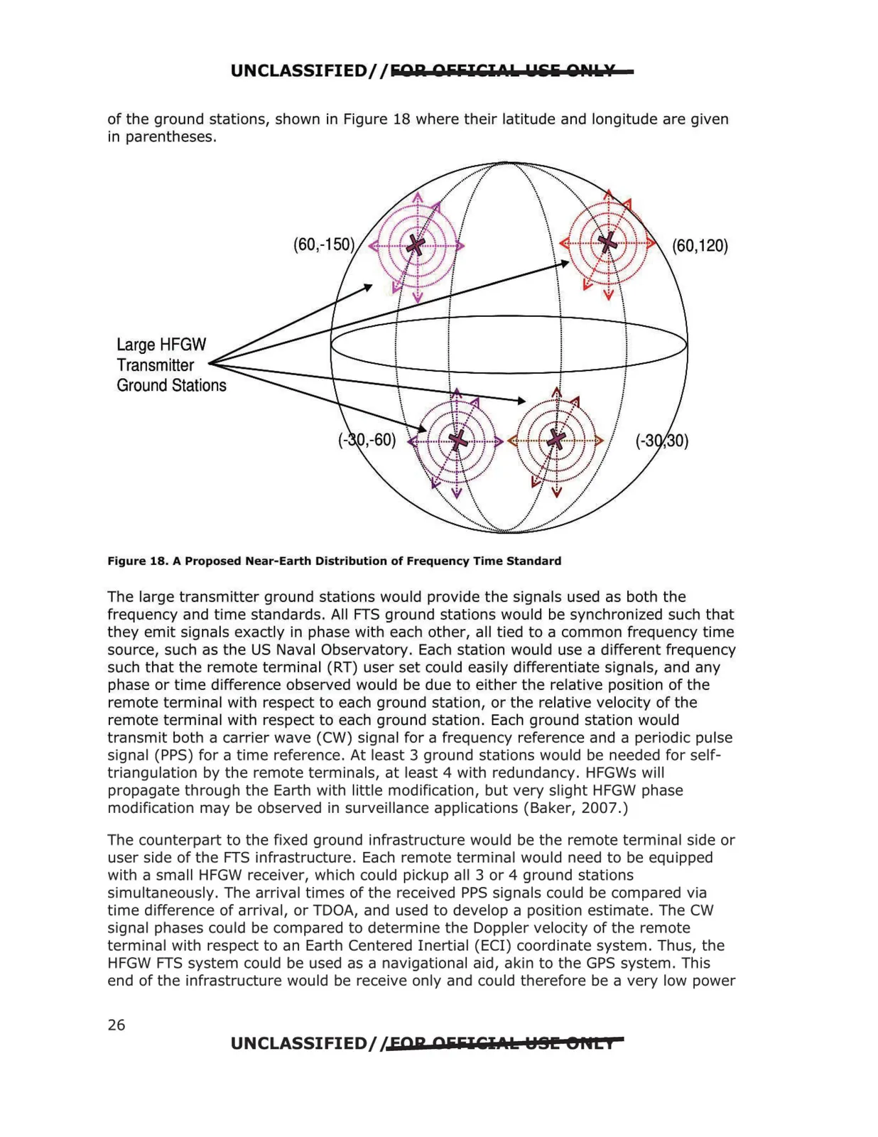
UNCLASSIFIED//&Olil OiiiilCI0L Llili QPIL¥ of the ground stations, shown in Figure 18 where their latitude and longitude are given in parentheses. Figure 18. A Proposed Near-Earth Distribution of Frequency Time Standard The large transmitter ground stations would provide the signals used as both the frequency and time standards. All FTS ground stations would be synchronized such that they emit signals exactly in phase with each other, all tied to a common frequency time source, such as the US Naval Observatory. Each station would use a different frequency such that the remote terminal (RT) user set could easily differentiate signals, and any phase or time difference observed would be due to either the relative position of the remote terminal with respect to each ground station, or the relative velocity of the remote terminal with respect to each ground station. Each ground station would transmit both a carrier wave (CW) signal for a frequency reference and a periodic pulse signal (PPS) for a time reference. At least 3 ground stations would be needed for self triangulation by the remote terminals, at least 4 with redundancy. HFGWs will propagate through the Earth with little modification, but very slight HFGW phase modification may be observed in surveillance applications (Baker, 2007.) The counterpart to the fixed ground infrastructure would be the remote terminal side or user side of the FTS infrastructure. Each remote terminal would need to be equipped with a small HFGW receiver, which could pickup all 3 or 4 ground stations simultaneously. The arrival times of the received PPS signals could be compared via time difference of arrival, or TDOA, and used to develop a position estimate. The CW signal phases could be compared to determine the Doppler velocity of the remote terminal with respect to an Earth Centered Inertial (ECI) coordinate system. Thus, the HFGW FTS system could be used as a navigational aid, akin to the GPS system. This end of the infrastructure would be receive only and could therefore be a very low power UNCLASSIFIED//FOR OiiiilCl.t.k HSI!! eflti 26